")
")
There is no translation available.
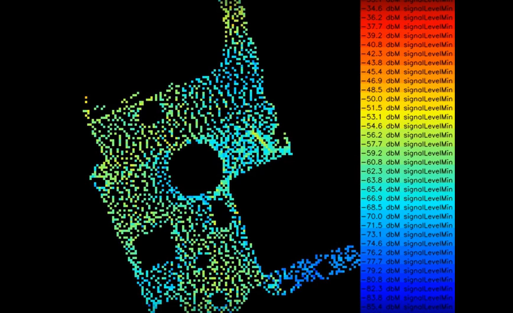
With our GPS tracking system, we can't just locate a robot. We can also use the robot to create maps with sensor values. Here you can see the Wi-Fi signal strength of an outdoor surface. The cm-accurate detection of ground sensors or sensors of other kinds can also be implemented. An interesting application would be, for example, soil analysis on lawns, agricultural areas, or plantations in order to carry out the use of fertilizers in the 2nd step with square meter precision.